
Mt Rainier Fire Lookouts
Find lookouts via a map
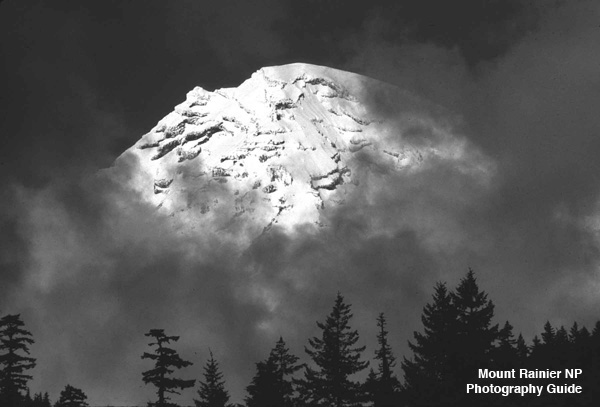
MPG V2.8, January 2013
Background
One of the best photographic opportunities in Mt. Rainier NP are the fire lookouts, both because of their scenic values as interesting structures and for the vista they offer. They're also excellent hikes in the four different areas of the NP to get four different views of Mt. Rainier.
The National Park Service built lookouts in the NP between 1932 and 1934. Six were built but only four continue in operation today, but more as visitor lookouts and occasional housing for rangers and visiting scientists. The original ones were used for fire lookouts with radio systems for forest monitoring and field operations.
Lookouts
The four visitor lookouts are described below with a brief description of the hike you can find on map of the lookouts.
Gobbler's Knob.--Built in 1932, it's at the end of the Lake George - Gobbler's Knob trail from the Dry Creek trailhead at the end of the Westside Road near the Nisqually (southwest) entrance. It's a significant hike of 12.0 miles with 2,700 feet eleveation gain. There is a stop at Lake George, in addition to being accessible from outside the NP through the USFS roads and trails.
Mount Feemont.--Built in 1934, it's at the end of the Mount Freemont Lookout trail from the Sunrise visitors area, at the end of the White River (campground) road to Sunrise off the White River (northeast) entrance. It's a relatively short hike of 5.2 miles with 800 feet elevation gain. There are other trails leading off of this trail so you can expand your trip for the day.
Shriner's Peak.--Built in 1932, it's at the end of the Shriner's Peak trail from the trailhead on highway 123 between Cayuse Pass and the Ohanopacosh entrance. It's a signifcant hike of 8.5 miles with 2,440 feet elevation gain. There are no other trails in the area.
Tolmie Peak.--Built in 1932, it's at the end of the Tolmie Peak trail from the trailhead at Mowich Lake, and can be accessed at the Mowich Lake campground or at the trailhead at the southwest corner of Mowich Lake. It's a relatively short hike of 7.2 miles with 1,200 feet elevation gain. Part of this trail is on the Wonderland trail, so it offers other areas to hike during your trip along with passing by Lake Eunice.
Older Lookouts
The old lookouts are described below and you can find on map of the lookouts.
Several lookouts were built over the years in the NP but either were destoryed or removed. These include Anvil Rock (1916-1947), Colonnade Lookout (1930-1941) moved to Sunset Park(1948-1960's) and Crystal Mountain (1934-1971). Windy Knoll (1934-1941) wasn't a lookout with a building but was operated as a camp and fire lookout post.
Other Lookouts
There are some fire lookouts still in existence in the area around Mt. Rainier NP in US Forest Service forests lands. These are:
Sun Top.--Built in 1933 and rebuilt in 1990, it's at the end of the US Forest Service road off Highway 410 at the Huckleberry valley road and five miles north of the NP bounday. It's occasionally staffed with USFS rangers and volunteers and is a popular local and visitors destination for views of Mt. Rainier.
Hight Rock.--Built in 1929, it's at the end of the US Forest Service trail at Towhead Gap on US Forest Service road south of the Nisqually entrance to the NP. It's a relatively short hike of 1.6 miles with 1,200 feet elevation gain. The lookout sits over a cliff and overlooks Lake Cora.
Information
As noted above, the hikes to lookouts vary in distance from a long day hike to a several day backcountry hike, but they all have one thing in common, a significant elevation gain, which means you need to be reasonably fit and experienced as a hiker for day hikes and more for backcountry hikes, especially when you add your photographer gear.
This is more important when you hike early in the season before the summer weather and mid-upper elevation snowmelt as the trail conditions and weather can be different than the trailhead, when and where you'll need the appropriate, layered clothes for rain and snow along with good boots for your hiking and photography work.
Resources
The next important information is where to find information and links, which are listed below.
- Books in Print
- Websites
Please use the contact link to send e-mail.