
WSR Photography
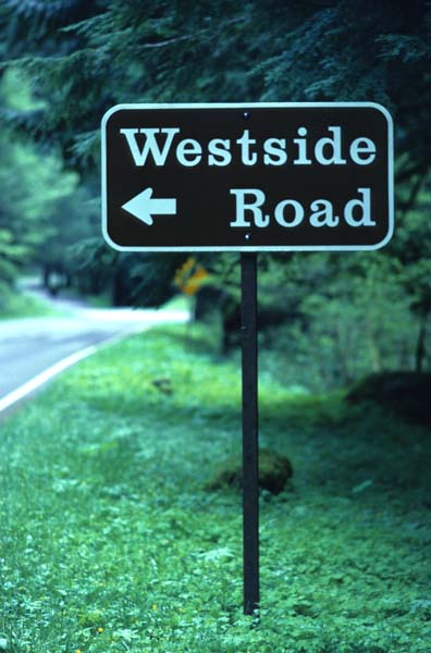
Why "WSR" Photography? It's for Westside Road in Mt. Rainier National Park which is about a mile east of the Nisqually Entrance. Westside Road is the old road which goes over Round Pass from the Nisqually River basin to the Puyallup River basin. In the mid-1980's a glacial outburst flood from South Tahoma glacier destroyed the road at the Fish Creek crossings about three and a half miles from the highway. The public road now ends near this crossing, now a trailhead where you can continue to hike the road. The road is closed at the highway from October to May.
I named my photography work and Web site for this road because it's usually my first hike of the season, and 3-plus mile hike to work the winter's stiffness from my legs, body and spirit. It's rarely used during the long winter season so you get the entire Tahoma Creek basin to yourself. During the winter, you'll likely find the snow level somewhere along the road, and on clear days you're bathed in the warm winter sun for most of the hike. Some folks find it a good snowshoe route due to the easy gradient until you reach the climb from Fish Creek to Round Pass.
During the late spring to early fall hiking season, the Westside Road is open to the trailhead at Fish Creek and makes excellent starting points to several places in the southwest quadrant of the NP. You can hike to Lake George and Gobblers Peak, over Round Pass into the Puyallup River basin, or to Indian Henry's, and the Wonderland trail that circumnavigates Mt. Rainier, via the Tahoma Creek trail, one of my favorite hikes. The Tahoma Creek trail washes out seasonally from the winter storms, and you should check at the Longmire Information Center the status of this and other trails near Longmire.